

Turn complex geoscience data into confident exploration insights
Find, rank, and act on the most prospective areas faster and smarter, with confidence. Datarock’s Prospectivity Modelling & Area Selection blends geophysics, hyperspectral, sampling, and mapping into explainable, quantified models.

Prospectivity modelling
use cases
Target search
Searching for complex multivariate signatures of a feature of interest in geoscience data.

Domaining
Data-driven domaining to find clusters of common responses in geoscience data.

Anomaly Detection
Ore bodies are anomalies in the Earth’s crust; often presenting as subtle expressions in exploration datasets. Locating and quantifying anomalous features in these data can help identify ore body signatures.

Computer vision–driven prospectivity
Datarock has developed innovative computer vision techniques for regional targeting and prospectivity modelling, extracting further value from complex textures in geophysical and remote sensing data.

Hyperspectral processing and analysis
Hyperspectral data from airborne and satellite platforms is becoming a powerful tool in greenfield exploration, offering extensive spatial coverage and detailed spectral information.

Tin-Tungsten Prospecting
with Machine Learning
A regional study applying machine learning to integrate geological and geophysical datasets
and identify areas with similar signatures to known Sn–W mineralisation.

- Geophysical, geological and remote sensing data layers represent a high dimensional data set that is challenging to analyse in a robust way
- Data layers have different spatial resolutions, further complicating integration
- Sn-W mineral systems in the study area differ in geophysical expression across spatially clustered mining districts
- Models correctly identified 45% of occurrences under hold-one-out validation – an imperfect but methodologically sound result
- Models performed best within and around major mining camps
- Investigation of feature importance show models agree with mineral system understanding – low gravity and strong radiometric responses related to evolved source granites are key predictors
Get your prospectivity assessment
Understand where to focus next, with clear, data-driven target ranking.
Gain an edge in exploration decisions.
”Datarock regional prospectivity models have been integrated into our global generative prospectivity workflows
Principal GeoscientistMajor mining company
Read our blog article related to our Prospectivity Modelling

Applying AI to mineral exploration: Datarock at PDAC 2026

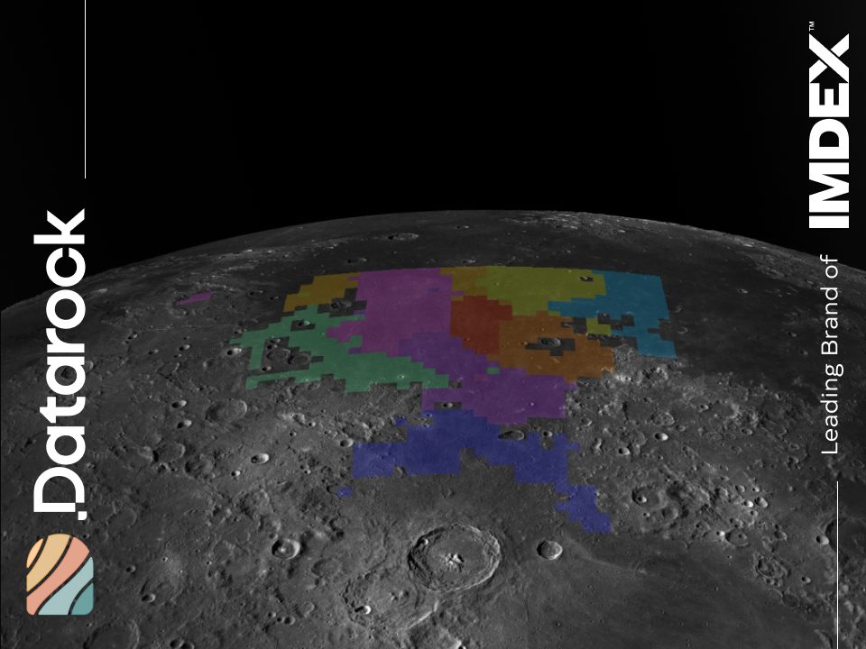
Spatially aware clustering for exploration: insights from the Moon
Download our guide
A practical guide to prospectivity modelling built for exploration geologists and geoscientists. You will learn what prospectivity modelling actually is, how it works in the field, and where most targeting workflows fall short.


